Introduction
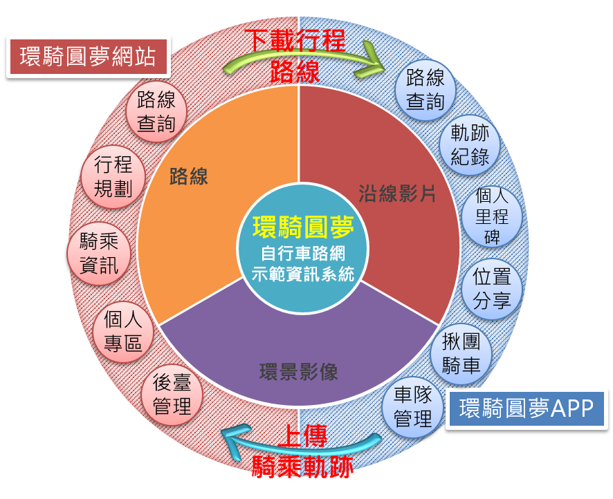
In order to integrate the bicycle culture into life, gradually build a bicycle island from the perspectives of industrial development, transportation, education and culture. In 2014, it began to plan and build a single entrance network for cycling around the island with complete tourist information and a high degree of interaction-【Taiwan Cycling Route】. It provides routes, gradient maps, and supply station information of Line 1 around the island and the ring and branch lines. It also creates a 360-degree panoramic image of the bicycle lane, video along the highway and an interactive map, allowing the public to easily grasp driving information. In addition, the 【Taiwan Cycling Route】 is established as a useful auxiliary tool for the public to travel around the island by bicycle. It provides track records of the rider's riding route, as well as route deviation reminders, location sharing, etc. during the riding period; it is also the first bicycle fleet management function, so that bicycle rider can openly form a team and manage the team in the riding room.
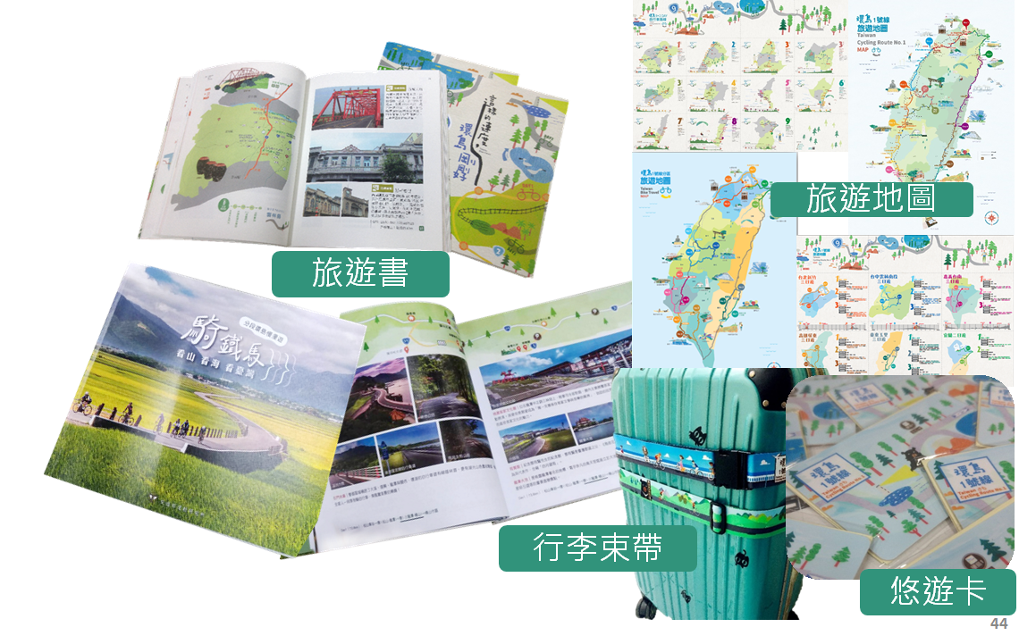
In order to promote green and low-carbon tourism, we designed travel books, tourist maps and peripheral products with the No. 1 round-the-island bicycle route as the main axis, and set up a Facebook fan group page to promote and market the construction results of Taiwan's bicycle round-the-island route, let more people have the opportunity to know and fall in love with cycling, and let the bicycle round-the-island portal become the driving force for potential riders who embrace the dream of round-the-island to realize their dream of round-the-island.

Project performance and benefits
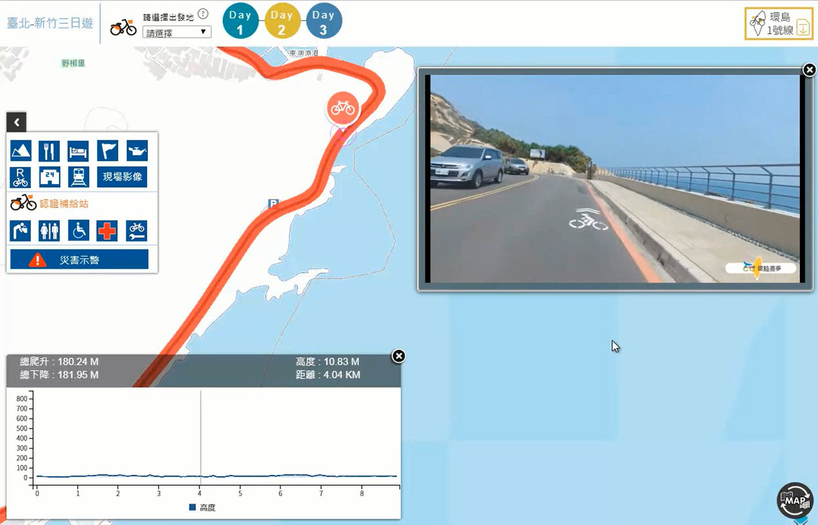
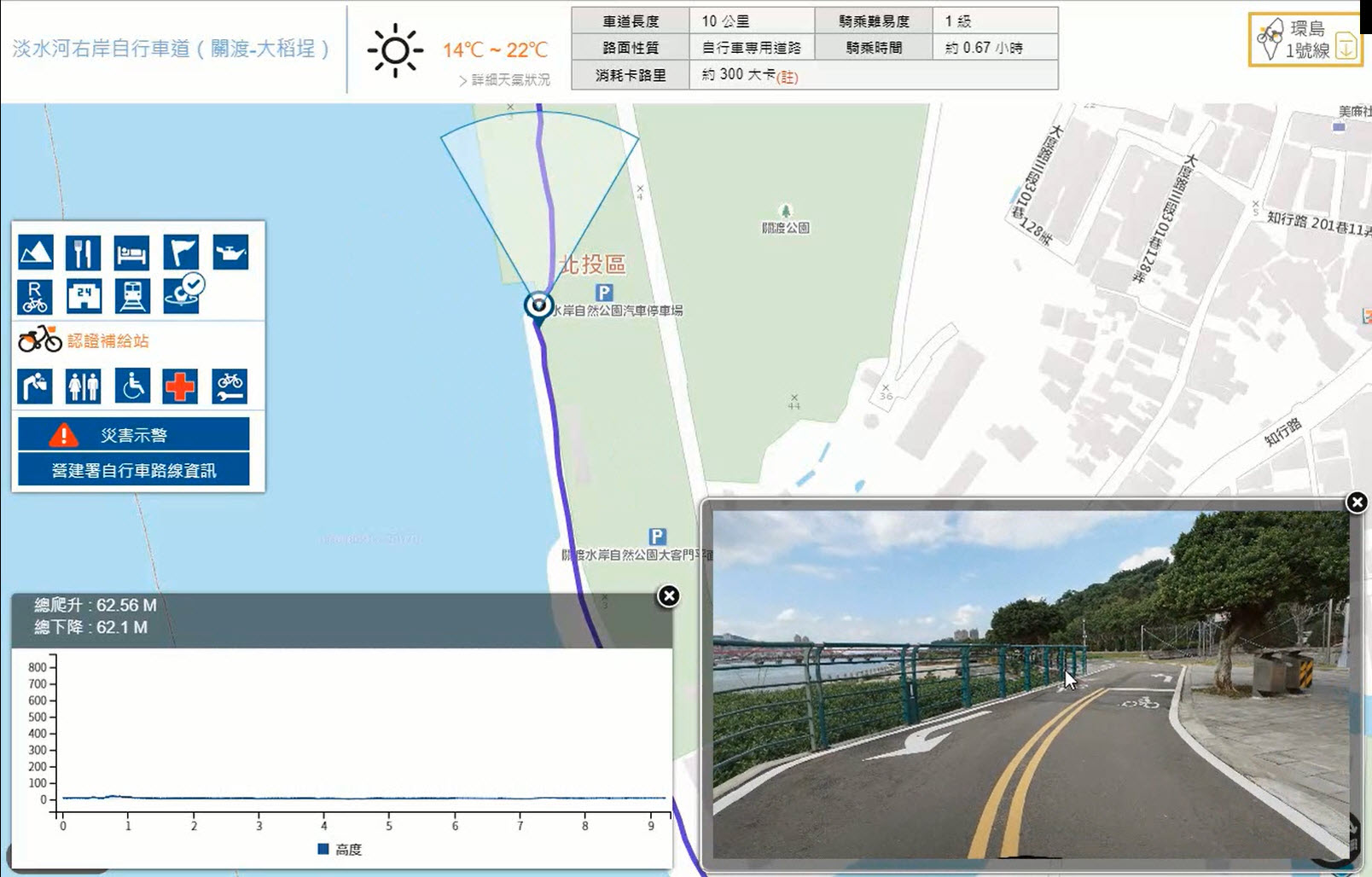
Build Taiwan Cycling Route (computer version, mobile version, English version), integrate GIS technology to provide bicycle information query, including routes, itineraries, certified supply stations, mileage ladder diagrams, route height maps, etc., and also provide customized itinerary planning functions, let the Cycling Dream website become a sharp tool for cycling around the island.
The first GIS technology integrates the video along the Island Roundabout Line 1 and the 360-degree panoramic image of the bicycle lane, so that the public can grasp the on-site information of the riding section in advance and make full preparations to improve riding safety.
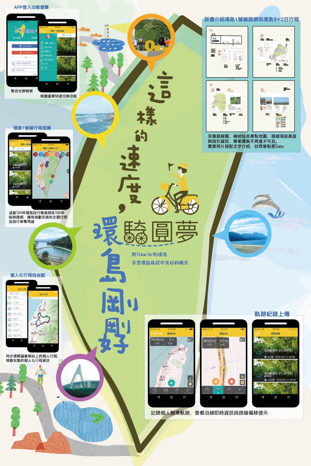
>Taiwan Cycling Route APP provides Android version and iOS version. As a personalized riding assistant for bicycles around the island, it provides main functions such as route selection, track records, personal milestones, historical riding records, information query, etc., and is the first to create group cycling, Fleet management, let the fleet know whereabouts.
Marketing promotion: Design travel books, travel maps and peripheral products, set up a Facebook fan group page with digital marketing, KOL marketing, physical marketing, media marketing, and promote and sell Taiwan bicycles around the island.