Introduction
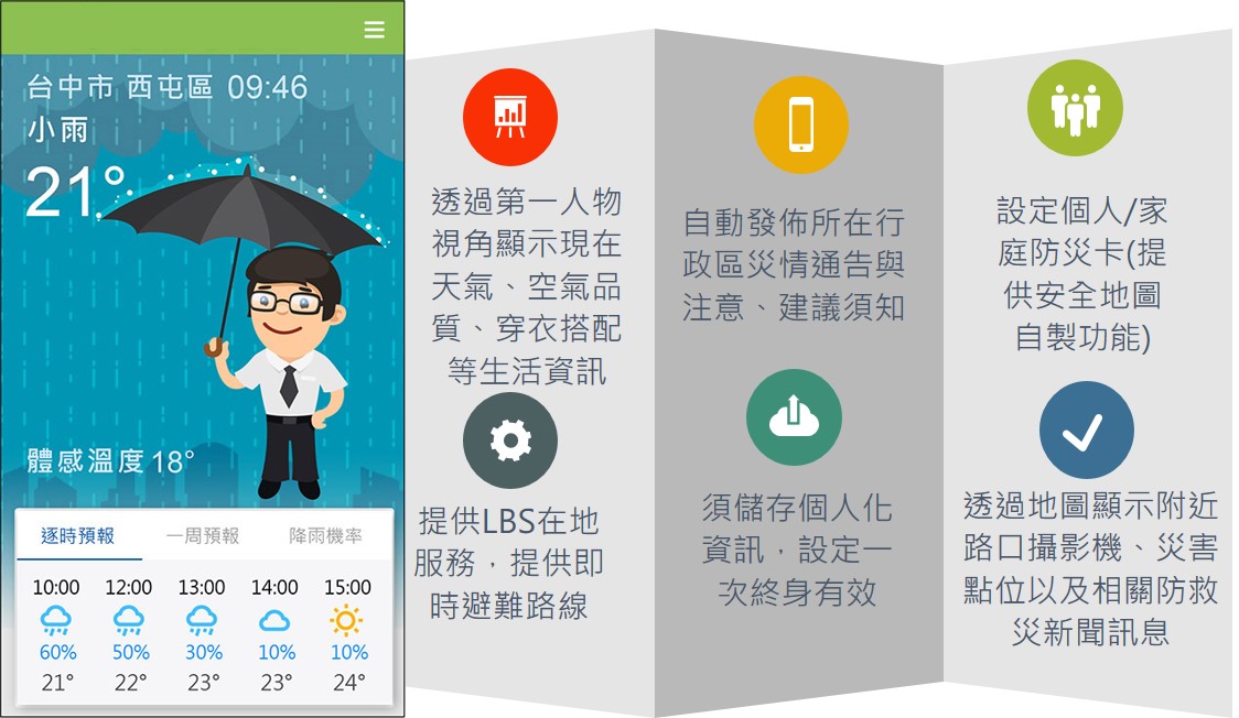
Establish a public-centered digital disaster prevention information service, provide personalized and comprehensive information according to the needs of the public, plan comprehensive information services for disaster prevention and relief related to earthquakes and typhoons, and combine disaster prevention issues and information of personal concern to the public, and strengthen government digital services to achieve the goals of convenient life and disaster prevention management.
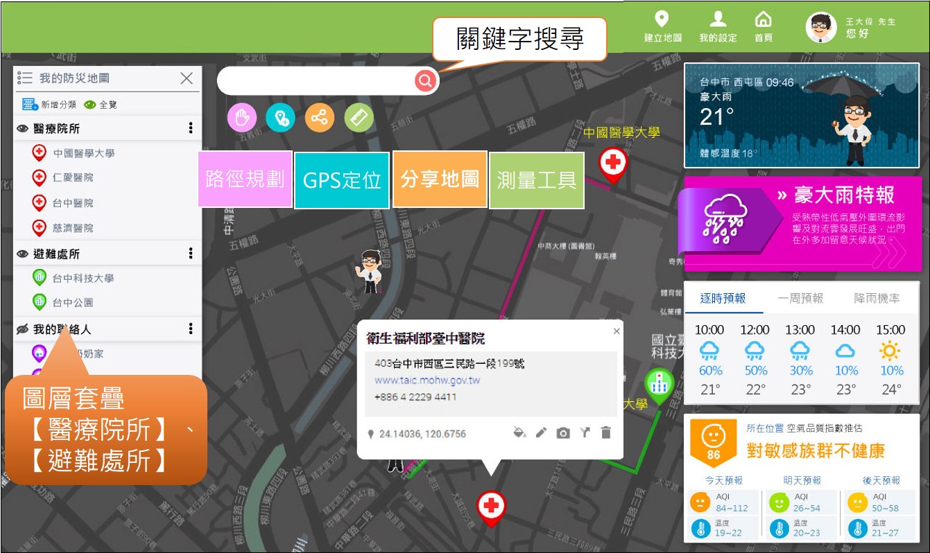
This plan integrates relevant resources of various existing units, including real-time disaster prevention and relief information of disaster prevention units such as the Central Weather Bureau, Water Resources Agency, Soil and Water Conservation Bureau, and Directorate General of Highways, and integrates them on the same platform. Application of service-oriented architecture (SOA) related technologies for data sharing, data interface and establishment of data exchange mechanism, the public can easily subscribe to the information they want to pay attention to, and grasp all disaster prevention information in an all-round way.
Furthermore, through the location-based service (LBS) technology, the nearby disaster information is actively provided to the public within 500 meters of the location. The public can quickly browse the locations of these warning locations to determine whether they will affect the area they are in, and leave the dangerous area as soon as possible, take the initiative to avoid disasters and reduce the threat of disasters to life and property.

Project performance and benefits